


4.2 km | 5.1 km-effort
![Trail On foot Červený Kostelec - [Ž] Červený Kostelec - Nad Chlívci - Photo](https://media.geolcdn.com/t/1900/400/40db9a42-8d1e-4935-8aa7-910b001912d3.jpeg&format=pjpeg&maxdim=2)

Tous les sentiers balisés d’Europe GUIDE+


FREE GPS app for hiking
 SityTrail
IGN / Geographical institutes
SityTrail World
The world is yours!
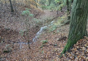
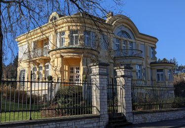
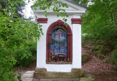
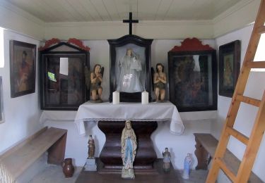
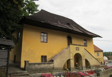
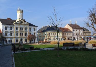
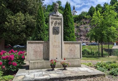
Trail On foot of 6.4 km to be discovered at Northeast, Královéhradecký kraj, Červený Kostelec. This trail is proposed by SityTrail - itinéraires balisés pédestres.
Trail created by cz:KČT.
![Trail On foot Červený Kostelec - [Ž] Červený Kostelec - Nad Chlívci - Photo 1](https://media.geolcdn.com/t/2048/auto/334acf4b-9afc-4e99-b8f7-a2ad840adc33.jpeg&format=jpg&maxdim=0 "Trail On foot Červený Kostelec - [Ž] Červený Kostelec - Nad Chlívci - Photo 1")
![Trail On foot Červený Kostelec - [Ž] Červený Kostelec - Nad Chlívci - Photo 2](https://media.geolcdn.com/t/2048/auto/991fed10-1496-46ef-8735-fd43b39b79b0.jpeg&format=jpg&maxdim=0 "Trail On foot Červený Kostelec - [Ž] Červený Kostelec - Nad Chlívci - Photo 2")
![Trail On foot Červený Kostelec - [Ž] Červený Kostelec - Nad Chlívci - Photo 3](https://media.geolcdn.com/t/2048/auto/a03dcade-6435-480c-91ce-39af3b7cd0d7.jpeg&format=jpg&maxdim=0 "Trail On foot Červený Kostelec - [Ž] Červený Kostelec - Nad Chlívci - Photo 3")
![Trail On foot Červený Kostelec - [Ž] Červený Kostelec - Nad Chlívci - Photo 4](https://media.geolcdn.com/t/2048/auto/538e2f0d-52d5-4e85-b5c2-3b299defb07b.jpeg&format=jpg&maxdim=0 "Trail On foot Červený Kostelec - [Ž] Červený Kostelec - Nad Chlívci - Photo 4")
![Trail On foot Červený Kostelec - [Ž] Červený Kostelec - Nad Chlívci - Photo 5](https://media.geolcdn.com/t/2048/auto/028a13df-cc70-49b2-8114-204f7a15dd8e.jpeg&format=jpg&maxdim=0 "Trail On foot Červený Kostelec - [Ž] Červený Kostelec - Nad Chlívci - Photo 5")
![Trail On foot Červený Kostelec - [Ž] Červený Kostelec - Nad Chlívci - Photo 6](https://media.geolcdn.com/t/2048/auto/9a65990a-df45-4d5a-9c61-e9ce60240e63.jpeg&format=jpg&maxdim=0 "Trail On foot Červený Kostelec - [Ž] Červený Kostelec - Nad Chlívci - Photo 6")
![Trail On foot Červený Kostelec - [Ž] Červený Kostelec - Nad Chlívci - Photo 7](https://media.geolcdn.com/t/2048/auto/8f9fab83-1468-47a2-952b-057e98571fae.jpeg&format=jpg&maxdim=0 "Trail On foot Červený Kostelec - [Ž] Červený Kostelec - Nad Chlívci - Photo 7")
![Trail On foot Červený Kostelec - [Ž] Červený Kostelec - Nad Chlívci - Photo 8](https://media.geolcdn.com/t/2048/auto/7e9d6cb5-84a3-41c9-b77f-f2f8e8a4a868.jpeg&format=jpg&maxdim=0 "Trail On foot Červený Kostelec - [Ž] Červený Kostelec - Nad Chlívci - Photo 8")
![Trail On foot Červený Kostelec - [Ž] Červený Kostelec - Nad Chlívci - Photo 9](https://media.geolcdn.com/t/2048/auto/40db9a42-8d1e-4935-8aa7-910b001912d3.jpeg&format=jpg&maxdim=0 "Trail On foot Červený Kostelec - [Ž] Červený Kostelec - Nad Chlívci - Photo 9")
![Trail On foot Červený Kostelec - [Ž] Červený Kostelec - Nad Chlívci - Photo 10](https://media.geolcdn.com/t/2048/auto/ed8d17e6-7bf2-4ac9-acb7-5f1253bc9702.jpeg&format=jpg&maxdim=0 "Trail On foot Červený Kostelec - [Ž] Červený Kostelec - Nad Chlívci - Photo 10")
On foot
![Trail On foot Rtyně v Podkrkonoší - [M] U Švédského vrchu - Červený Kostelec - Photo](https://media.geolcdn.com/t/375/260/9158261a-08d2-4f60-837f-1ea875778a20.jpeg&format=jpg&maxdim=2)
On foot
![Trail On foot Rtyně v Podkrkonoší - [Ž] Pod Větrným dolem - Odolov - Photo](https://media.geolcdn.com/t/375/260/72fda8a8-30e6-488e-ac2f-2d023036e95b.jpeg&format=jpg&maxdim=2)
On foot
On foot
On foot
On foot
On foot
On foot
On foot